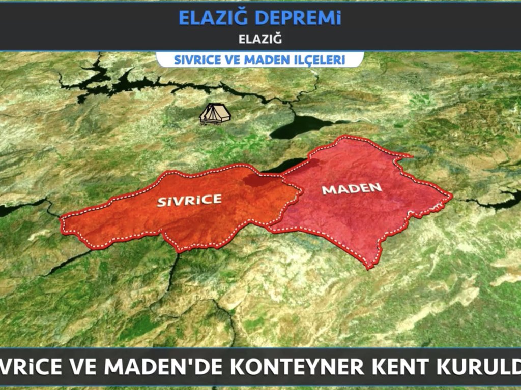
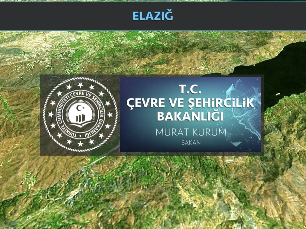
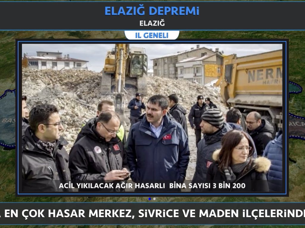
2020 METROPOLIS MINISTRY OF ENVIRONMENT AND URBANITY
New generation Metropolis presentation application. A map presentation tool where marking and explanations can be made on the whole world map, and can create three-dimensional online and collective presentations with multiple users. It creates automatic presentations with Geographic Information Systems (WFS) data and supports KML and KMZ formats.