
Mapped Presentation Tool for Institutions and Organizations

ile
işletmenizin gücünü
etkileyici bir şekilde gösterin!
Automated Metropolis presentations can be created with Geographic Information Systems Web Feature Service (WFS) data
Connect Your Institution to Knowledge
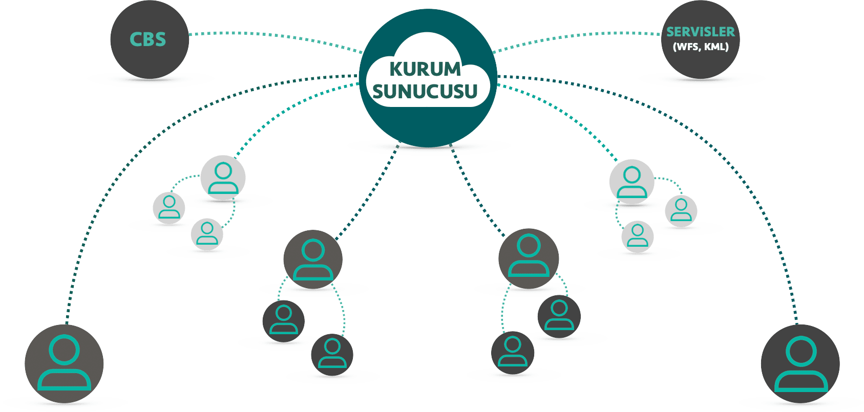
- Hierarchically authorized users and teams
- Manual data entry or automatic data extraction from database
- Daily, weekly, monthly task tracking presentations
-
 GIS
GIS -
 WFS
WFS -
 KML
KML
Metropolis Connect allows you to continuously improve your project with a unique storytelling technique.
With Metropolis Connect, you expand your digital stories over time, creating a steady stream of content that can be shared on your other digital channels
Please fill the form for details
Let us call you
ile ne geliyor? | OSM World Map |

|
| Unlimited Presentations |
|
| Privacy Control |
|
| Developable story scenes |
|
| Portable presentations |
|
| KML Support |
|
| Sharing a Presentation |
|
| Bound Scenes |
|
| Geographical Information System (wfs) Support |
|
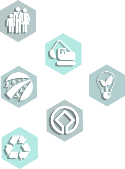
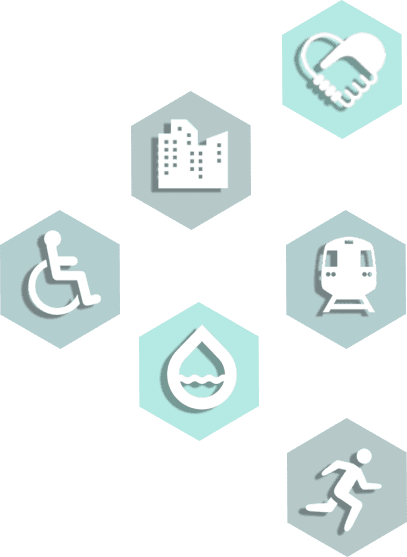
Story maps not only simplify data, but also effectively make it available to anyone interested.

Tell where you live, your project, your job, your story!
Corporate Mapped Presentation Tool